Monitoring and predicting rip currents is an important part of keeping beachgoers safe along South Africa’s coastline. Rip currents are strong, fast-moving channels of water that can pull swimmers away from shore, making them one of the leading hazards at the beach.
This forecast has been built and extended from the previously launched Cape Peninsula Rip Current Hazard Forecast, which covered only 6 beaches. We are now moving toward a truly national rip current forecast, starting with approximately 120 beaches across major metropolitan coastlines in Cape Town, Gqeberha, and Durban.
What’s new?
- Expanded coverage from 6 beaches to over 100 beach across major coastal Metro's.
- Updated colour scheme for hazard levels map represents the peak risk for the day, not a constant level. Conditions can change quickly, so check the timeseries plots for updates.
Read our new “How to Stay Safe: Reading the Rip Current Hazard Forecast” guide to understand the colours and learn how to plan your safest beach visit.
This project is funded by the Weather and Climate Science for Service Partnership South Africa (WCSSP-SA) through the UK Met Office. It is delivered in collaboration with CMAR at the University of Plymouth, the University of Cape Town (UCT), and other local and regional South African partners.
Please select your area of interest


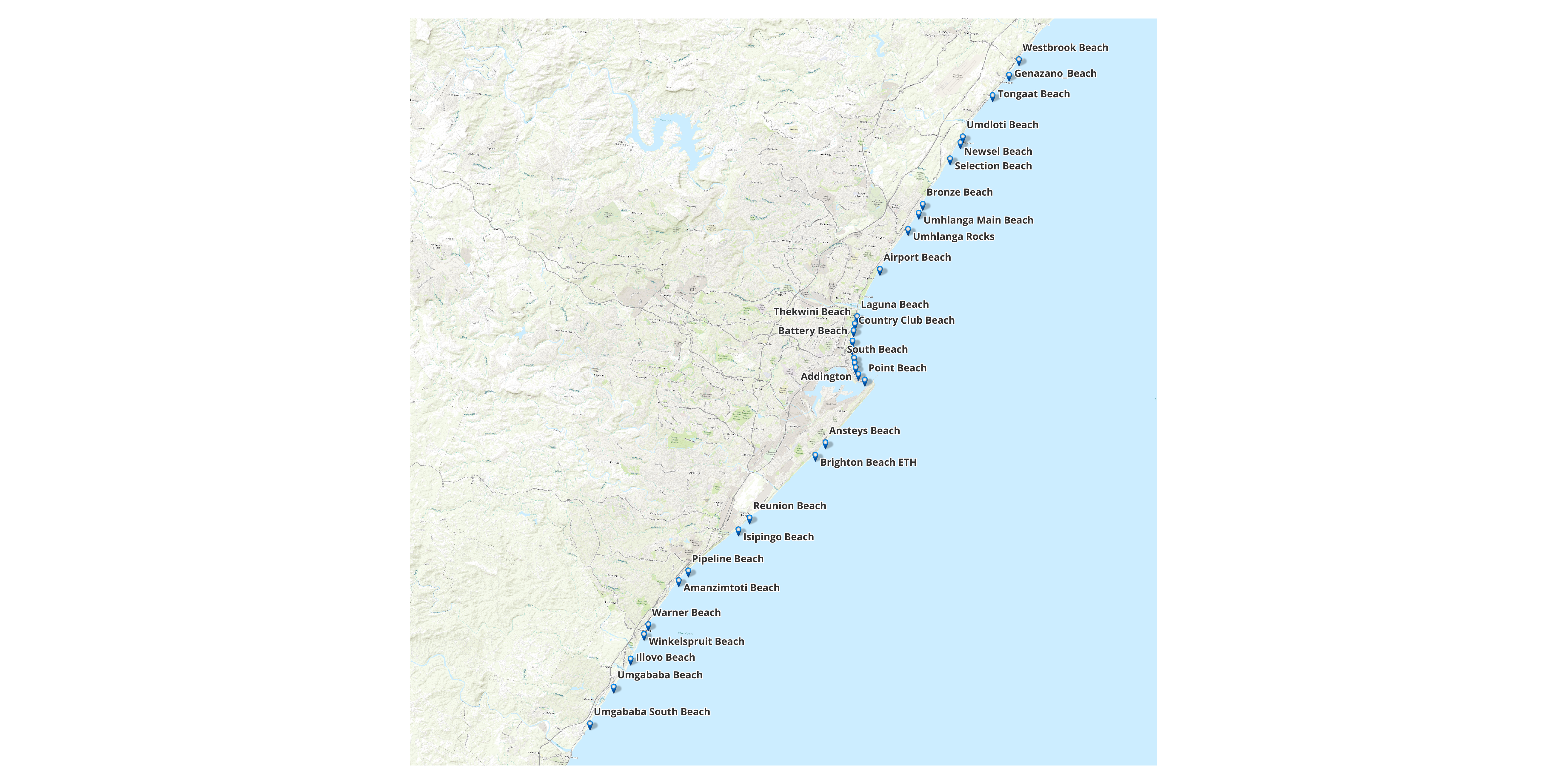
**Forecasts are shown only at coloured symbol locations. Rip currents may occur elsewhere at other beaches, near rocks, piers, and coastal structures.**
To view the tidal forecast for various locations along the South African coastline please see the SAWS-TM model 7-day tidal forecast for your planning purposes.