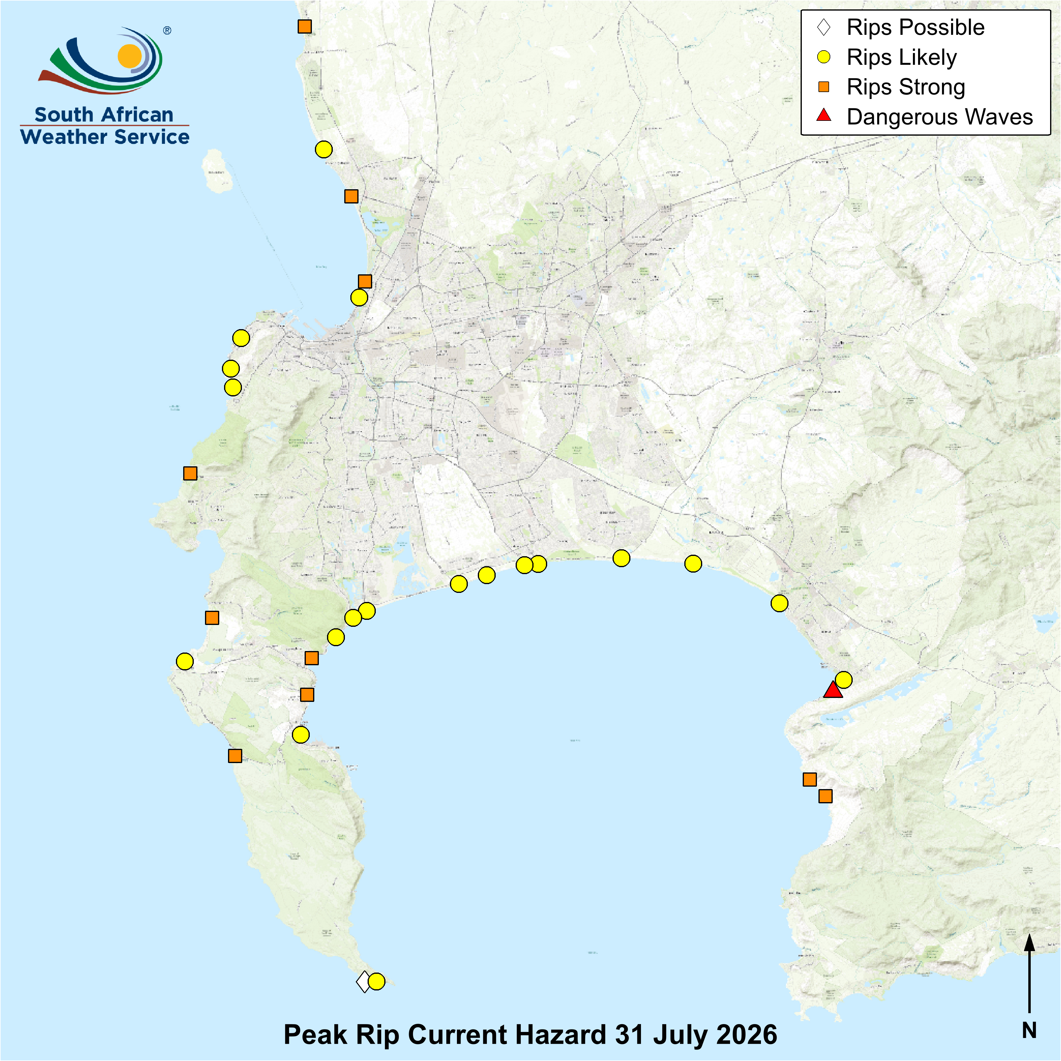

**Forecasts are shown only at coloured symbol locations. Rip currents may occur elsewhere at other beaches, near rocks, piers, and coastal structures.**
**Forecasts are shown only at coloured symbol locations. Rip currents may occur elsewhere at other beaches, near rocks, piers, and coastal structures.**