New Product: Beaufort Scale Forecast
Posted on 7 May 2021
SAWS is please to announce that Beaufort Scale forecast maps have been added to our suite of marine forecast products.
Beaufort Scale forecasts, underpinned by SAWS high resolution forecast systems, are now available on the SAWS Marine portal. The Beaufort Scale is an empirical scale which relates wind speeds to ocean surface characteristics. This kind of information is useful in translating a quantitative forecast into more qualitative information about the kinds of conditions which ocean users might encounter.
Marc de Vos, a scientist in the SAWS Marine Unit says: “It can be challenging to translate environmental data into something which can be intuitively understood by users. A typical question might be ‘What will the ocean look like given a particular wind forecast, and can I navigate it safely?’. The fact that mariners continue to refer to the Beaufort Scale after more than two centuries suggests that it offers good insight into this question. We hope that this product might be useful to mariners, as well as coastal or recreational users who might not be familiar with the Scale”.
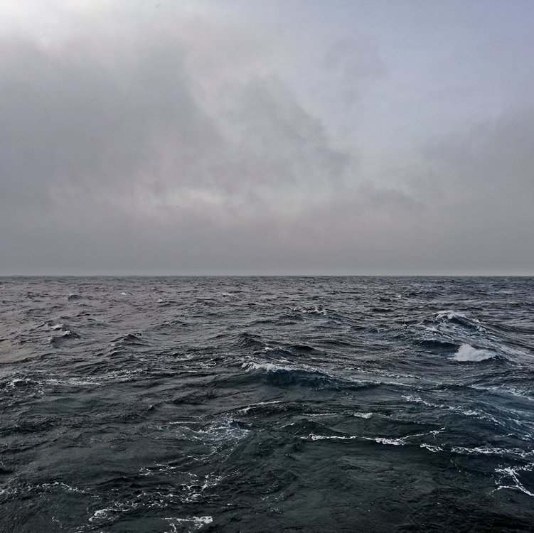
The Beaufort Forecast page shows the regional Beaufort Force forecast and the standard Beaufort Scale, abbreviated from a WMO version. High-resolution forecast maps show forecasts, accompanied by standard photographs of associated ocean surface conditions, according to the most widespread Beaufort Number for a particular time and place. These photographs were assembled by NOAA decades ago. Whilst they are certainly effective, SAWS Marine would like to collaborate to update the photograph set in the near future.