SAWS Daily Sea Ice Edge

Posted on 12 May 2022
The SAWS Marine Unit is pleased to announce the launch of its daily sea ice edge analysis for METAREA VII.
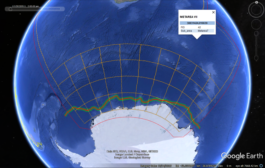
The SAWS Marine Unit is pleased to announce that its daily sea ice edge analysis for METAREA VII is now available as an experimental product. The ice edge is automatically generated using a combination of satellite-derived and numerical forecast data. It provides an estimate of the position of the ice edge for the present day, and a 24-hour forecast is available on request. A summary map is shown online, and KML files are available to download for use in Google Earth and other GIS applications.
Scientist in the Marine Unit, Marc de Vos, said: “This is the first of many steps towards more comprehensive maritime safety and planning information for the ice-covered regions within our area of responsibility. This product is a testament to the synergies open data from global partners and our own research undertaken in the Antarctic. It’s really nice to see research in remote regions being brought into operation.”
After testing and evaluation, the product will be used as the foundation for sea ice edge information in the SAWS SOLAS High Seas forecast bulletins.
