SAWS Marine Returns from Southern Ocean Sea Ice Expedition
Posted on 13 August 2019
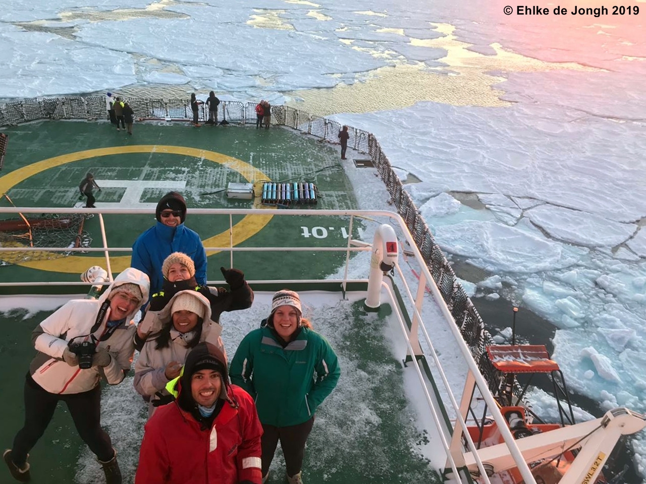
The SAWS Marine Unit embarked on a 25-day expedition to the southern ocean as part of the Southern OCean SeAonaL Experiment (SCALE).
Sailing from Cape Town on the 18th July 2019, the SAWS Marine Unit embarked on a 25-day expedition to the southern ocean as part of the Southern OCean SeAonaL Experiment (SCALE). The SCALE project brings together a multitude of scientists from South Africa and abroad. Together, they aim to enhance our understanding of seasonal changes in the physics and biogeochemisty of the southern ocean. SCALE hypothesizes that a robust understanding of this cycle, and how it might be changing, is a more useful method by which to understand climate change in the region than simple inter-annual assessments.
Aside from its long history of weather and climate monitoring on the sub-Antarctic Islands of Marion and Gough, as well as on the Antarctic continent at South Africa’s SANAE VI base, SAWS has a renewed interest in the southern ocean seasonal dynamics.
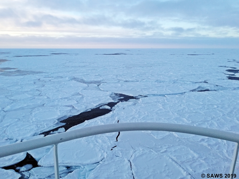
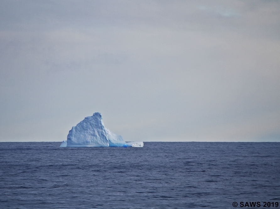
The sea ice of the southern ocean is one of the most seasonally-variable geophysical phenomena on the planet. Disappearing almost entirely during summer, it grows from the Antarctic continent, extending far north of 60°S during winter. In addition to this rapid annual expansion-retreat cycle, the sea ice is heavily impacted by the violent weather which characterizes the southern ocean, especially during winter. The result is one of the most difficult-to-predict navigational hazards for National Meteorological and Ice Services.
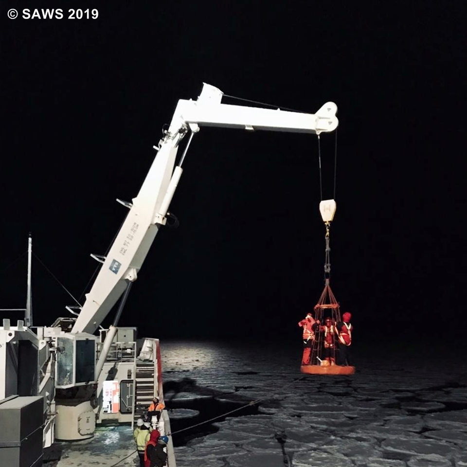
The SAWS Marine Unit’s involvement in the SCALE campaign is focused on ground-truthing information which satellites and numerical models can provide about the whereabouts of sea ice, as well as designing and testing workflows to chart it effectively. The goal is ultimately to provide regular sea ice information to mariners, in aiming to maximise safety of life at sea.
At present, the team is focused on the accurate daily detection of the sea ice “edge”, which can move hundreds of kilometers in a single day under the influence of typical southern ocean storms. However, with so many complexities (such as ice types, concentrations, ages and behaviour) yet to be resolved, SAWS looks forward to a long partnership with the SCALE project in demystifying southern ocean sea ice.
In addition to the sea ice charting pilot project, SAWS provided comprehensive tailored metocean support to the science and navigational crews on board the SA Agulhas II throughout the duration of the cruise. This included innovative solutions to ensure that whichever information was required was immediately on hand for decision making in an environment where connectivity is severely limited. The systems put in place prior to departure proved invaluable, given that weather (especially of the kind encountered in the southern ocean during winter) is the primary logistical factor affecting the intricate scientific operations on board. The usual range of continuous surface synoptic and upper air variables were measured and recorded, and the second set of ozone measurements for the southern ocean sector recorded.